UPPER YARRA FALLS,
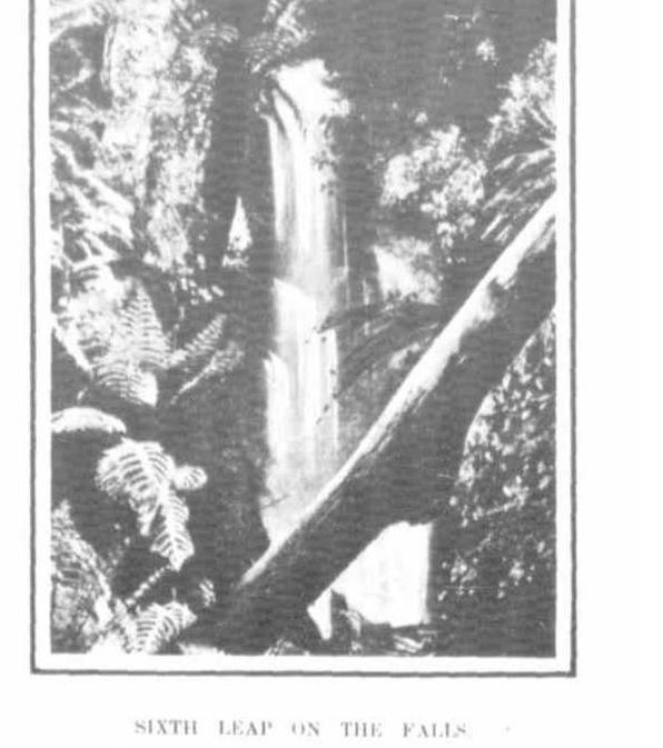
Interesting but rarely visited scenes are to be found at the upper sources of the Yarra between Mount Baw Baw and the main Dividing Range The locality has never been completely surveyed and many of the contour lines shown on the map of Victoria are guesswork. Within the last few weeks Yarra Falls, as they are termed, were visited by an exploring party consisting of Mr. J. Walker and Mr.J.Fawkner, of the Lands department and Mr. A. J. Campbell and Mr. A. G. Campbell, field naturalists. They found the mountainous country above Walsh's Creek very difficult to traverse. Their packhorse twice lost its footing on the track and tumbled down the slope below it. Yarra Falls are situated, not on the main stream, but on a tri butary to be henceforth known as Falls Creek. The height of the falls, which descend in a series of 6 leaps, was ascertained to be between 600ft. and 700ft. or 300ft. less than was reported according to previous reports. An old mining track starting from Walsh's Creek passes the junction of the Upper Yarra and Falls Creek but it will have to be reformed for about 11 miles before any use can be made of it by ordinary tourists. The going is heavy, the gradients are difficult, and the timber obstructive. The exploring party had the assistance of a local guide.


 RSS Feed
